

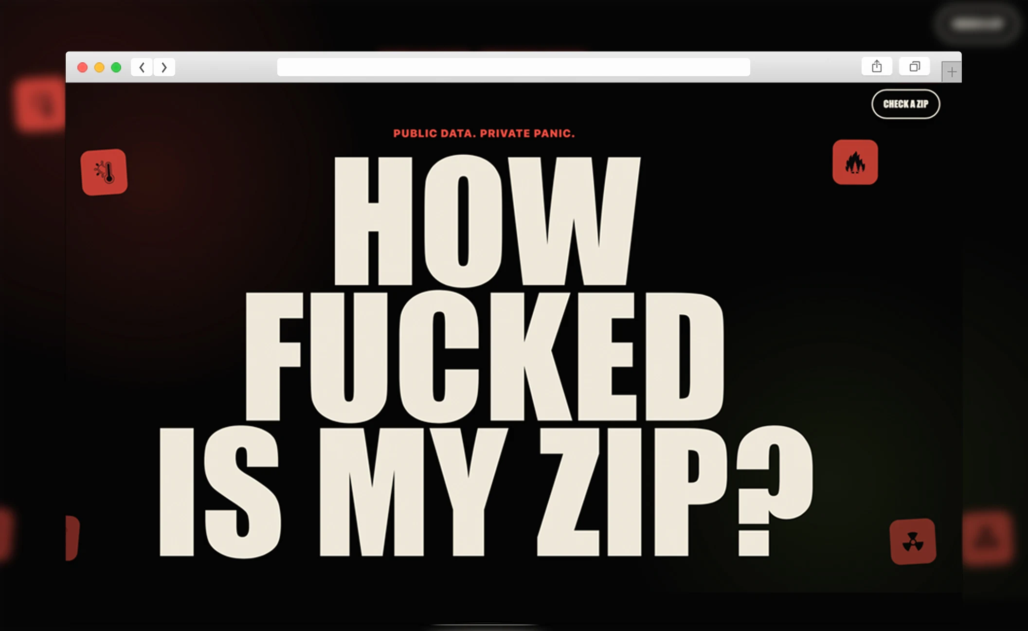
HOW F*CKED IS MY ZIP?
Public risk data, one ZIP code, and a verdict people will actually read.
Climate and environmental risk data is public, but it is scattered across dense government systems. FEMA hazard scores, disaster history, air quality, pollution records, and weather signals are difficult to combine and even harder to explain to someone who simply wants to understand where they live.
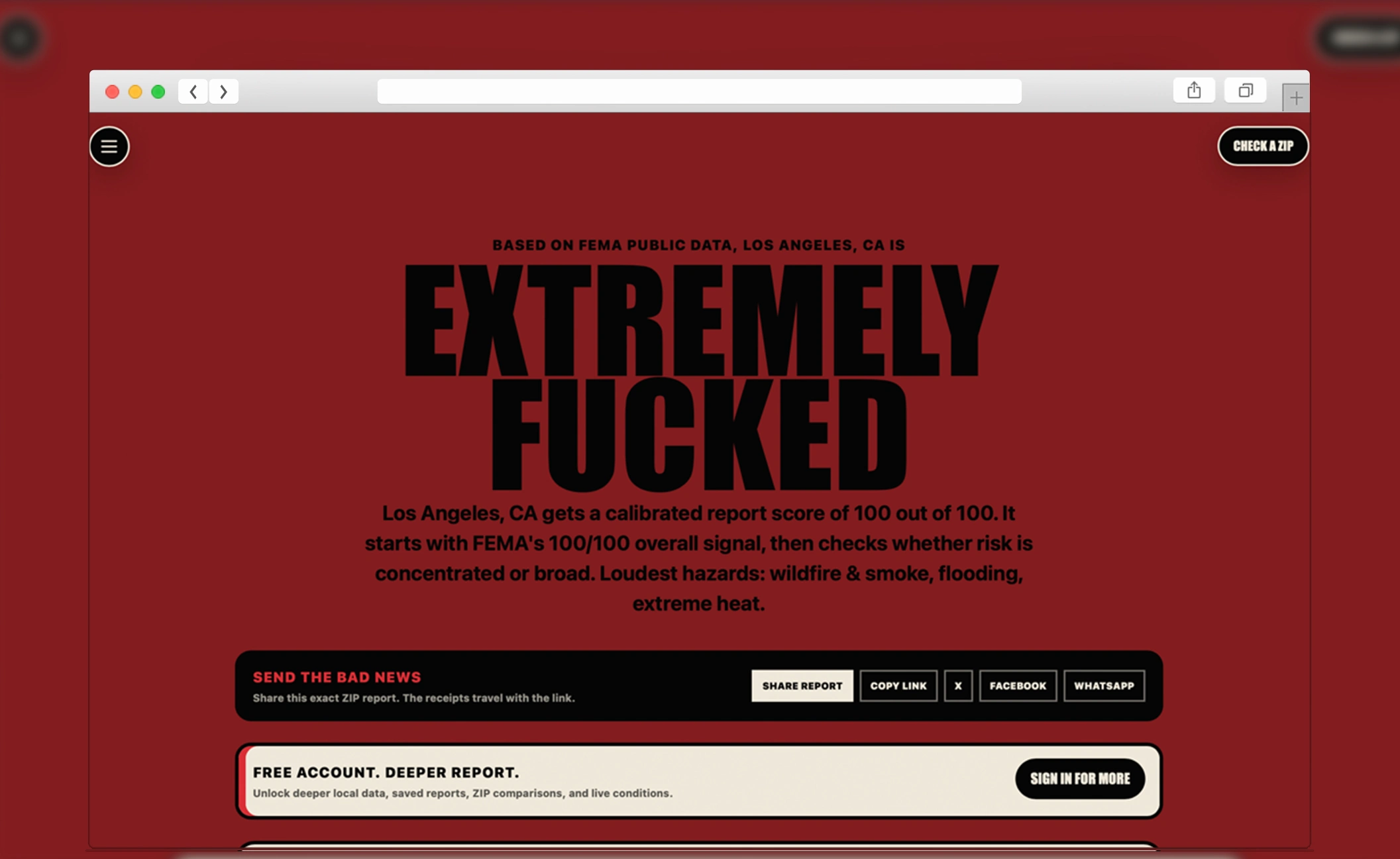
We built a Next.js data platform that connects public APIs and datasets from FEMA, Census, EPA, weather, and environmental sources. Each ZIP search becomes a clear local risk report with scores, plain-English context, methodology, and links back to the original receipts. Tailwind gives the interface its sharp editorial voice, while Vercel supports fast delivery as the data layer continues to expand.
Every technology choice was made to serve the project goals. Performance, maintainability, and long-term ownership drove every decision. Nothing was added for the sake of it, and nothing was left out that the project needed.
Let's build
yours next.
Most agencies learn on your budget. We came in already knowing what it takes.